
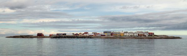
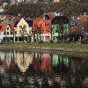
This was shot during daytime and the light was kinda harsh. But the colors of the houses are just amazing! Take the trip if you’re in the area. We were sailing and since we had a tight schedule we just did an en passant.
Grip (Norwegian pronunciation: [ˈɡriːp]) is an archipelago, a deserted fishing village, and a former municipality about 14 kilometres (8.7 mi) northwest of the city of Kristiansund. It is located in Kristiansund Municipality in Møre og Romsdal county, Norway. The Grip Lighthouse, one of the tallest lighthouses in Norway, is located on one of the islands of Grip. Also, the historic Grip Stave Church is located on Gripholmen.
Archipelago
The Grip archipelago consists of 82 islets and skerries about 14 kilometres (8.7 mi) into the Norwegian Sea northwest off Kristiansund. The fishing village is located on Gripholmen, which is the largest and only habitable islet. On the south side of the fishing village is the main harbor, protected by two breakwaters. The older and northern harbour is smaller and less protected. Other breakwaters protects the fishing village from large ocean waves. The highest point is just 10 metres (33 ft) above mean sea level.
The Inngripan group of skerries lies about 3 kilometres (1.9 mi) closer to Kristiansund, where a small storm shelter offered protection for shipwrecked fishermen. The storm shelter has recently been restored.
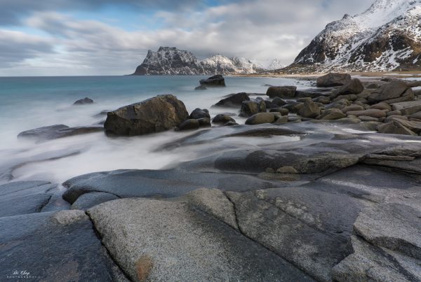
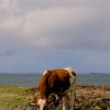
As all the turf and vegetation on Gripholmen was removed to provide clean cliffs for drying cod there was little room for agriculture. Only a few tiny gardens remained. The inhabitants could keep one or two cows grazing on the close islet Grønningen, and a few hens and pigs. After being deserted in 1974, Grip is slowly revegetating. http://flic.kr/p/moNGGS


Recent Comments